« more from the OS | Main | To the men who make the machines that make the machines. »
February 26, 2009
Ordnance Survey and the Jacobite Rebellion
Knowing what is where has always been useful. Knowing how to get there, and indeed back again, is good. Knowing where you are in relation to other people is useful too, especially if the other people are intent on getting up to no good. And especially if you of a military bent inclined to get up to no good yourself. It was the military that began the orderly mapping of things by Rigorous Principles.
It all started, as so many things did, and indeed probably still do, with the Jacobite Uprising of 1745.
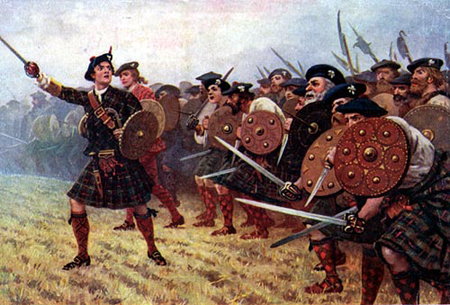
Jacobites uprising
Once the clamour of battle had died down and the blood-soaked heather had dried off a bit, one feisty Lieutenant-Colonel, going by the name Watson, thought it would be a jolly fine idea to make a detailed map of the Scottish Highlands the better to know where all the lurking clansmen were. The Duke of Cumberland thought this was a good idea too, and so did George II.
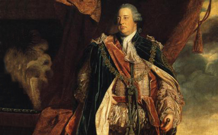
The Duke of Cumberland
The job came under the auspices of the Board of Ordnance, the part of the government then responsible for supplying the army with its bullets and guns. Ordnance being, as it is, the general term for things that go BANG! and have a tendency to kill people standing in the way.
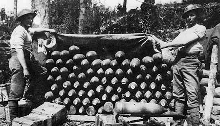
ordnance
The Ordnance Survey was formed and over the next few decades the delicate art of triangulation was applied to the British Isles. Triangulation is, as youre probably aware, a quasi-religious belief whereby if you know the name of two angels you can find out how big a hippopotamus is. Or something like that.
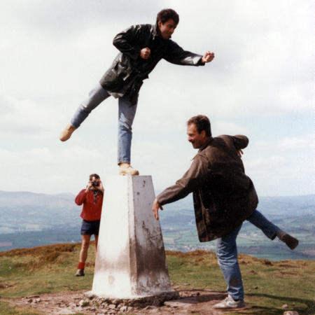
Three Surveyors engaged in Triangulation on the summit of Tan Troed, South Wales, sometime last century.
Posted by john at February 26, 2009 11:57 AM
Comments
.......Oh to be a professional : )
Posted by: paula at February 26, 2009 05:10 PM